12 LAWRENCE RD
Owner Information
UPHAM JOSEPH P & JANNA M
12 LAWRENCE RD
BROOKLINE, MA 02446


Property Details
12 LAWRENCE RD is classified as a Two-Family Residential (Decker).
The primary structure on this property was built in 1920. There is 4,879ft2 of residential/living space within this property. This property is listed as having 14 rooms. There are 2 units within this property.
12 LAWRENCE RD is valued at $2,575,700. The land is valued at $924,700 and the structures are valued at $1,651,000.
This property is in Zone T-5. Confirm with local Zoning Board authorities to ensure there are no overlays or other easements on this property.
The most recent deed for 12 LAWRENCE RD is recorded at the local registrar in Book 7694, Page 189. 12 LAWRENCE RD was last sold on Monday, August 10, 1987 for $435,000.
Assessment data from fiscal year 2021.
Flood Data
According to the FEMA National Flood Hazard Layer, this property does not appear to be in a flood zone. It may also be in an area not yet reviewed. Nonetheless, confirm this information prior to taking any action.
To view the flood hazards around this property, create a FEMA "Firmette" Map of the area around 12 LAWRENCE RD.
Broadband Internet Providers
| Provider | Type | Bandwidth (mbps) | |
|---|---|---|---|
| RCN | Cable | 500 | 20 |
| GCI Communication Corp. | Satellite | 0 | 0 |
| HughesNet | Satellite | 25 | 3 |
| Crown Castle Fiber | Fiber | 0 | 0 |
| Viasat Inc | Satellite | 100 | 3 |
| VSAT Systems, LLC. | Satellite | 2 | 1 |
| Verizon New England Inc. | DSL | 15 | 1 |
| Comcast | Cable | 1000 | 35 |
| RCN | Cable | 1000 | 20 |
| Starry, Inc. | Fixed Wireless | 200 | 200 |
| netBlazr Inc | Fixed Wireless | 50 | 50 |
Broadband service provider data from December 2020.
Adjacent Properties
- 101 ST PAUL ST
Two-Family Residential owned by MEEHAN SHARI & JOSEPH - 105 ST PAUL ST
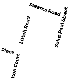
Rectory or Parsonage owned by CHABAD OF BROOKLINE INC - 78 STEARNS RD
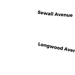
Two-Family Residential owned by LAPSON LAWRENCE B & MARCIA - 83 LONGWOOD AVE
Mixed Use (Primarily Commercial, some Residential) owned by BUEHLER, ET AL TRS GEORGE V - 82 STEARNS RD
Two-Family Residential owned by HEALEY TR DONNA E - 88 STEARNS RD
Two-Family Residential owned by LEAHY LYNDA C - 89 95 LONGWOOD AVE
Apartments with More than Eight Units owned by BUEHLER, ET AL TRS GEORGE V